The National Oceanic and Atmospheric Administration's Climate Prediction Center released its updated winter outlook on Thursday, painting a picture of a nation split by contrasting weather patterns for the final months of 2026 and the start of 2027. The forecast, which covers November through January, largely mirrors the agency's September projections and aligns with expectations tied to the current “historic” El Niño event.
According to the outlook, residents in the southern tier of the United States—from California across the Southwest and into the Gulf Coast and Southeast—are likely to experience warmer-than-average temperatures and below-normal precipitation. That combination could mean a brown Thanksgiving and a green Christmas for many, as dry conditions may limit snowfall even in typical winter destinations.

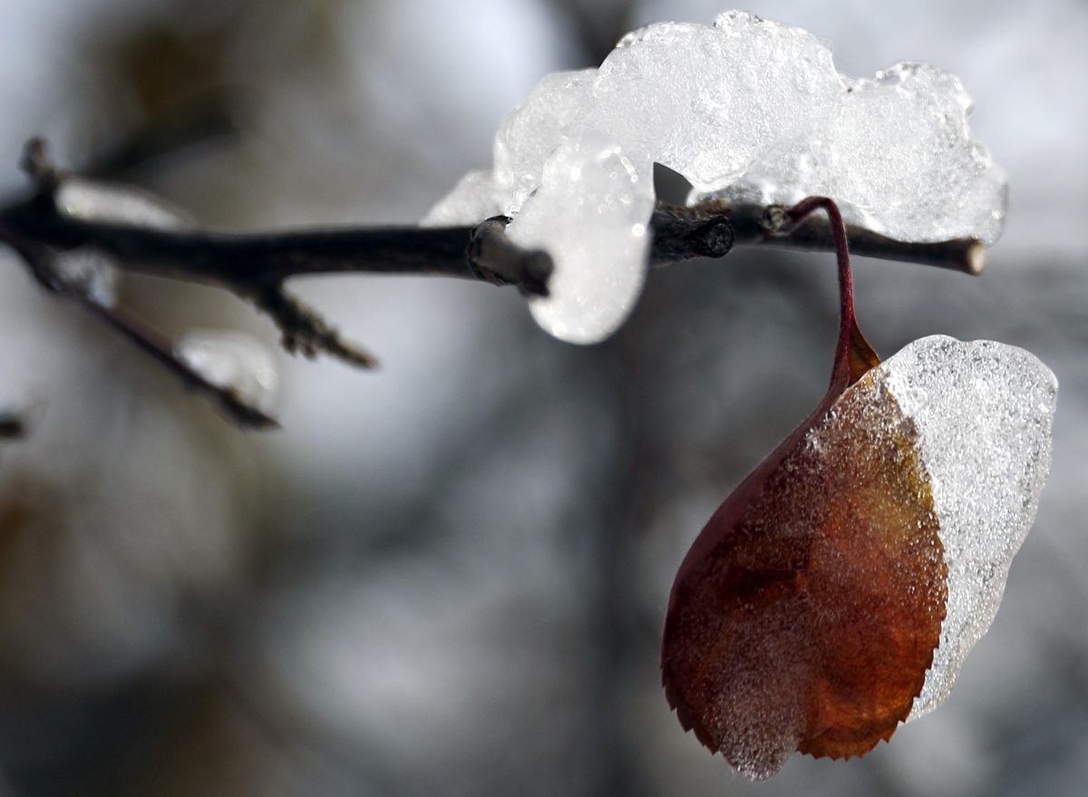
In contrast, the northern half of the country, particularly the Pacific Northwest, the Upper Midwest, and parts of the Northeast, is expected to see cooler-than-normal temperatures and above-average precipitation. This could translate into a white Christmas for some, but also raises concerns about increased storm activity and potential flooding in already saturated regions.
The forecast is consistent with the typical impacts of a strong El Niño, which disrupts atmospheric circulation patterns. “This is exactly what we often see with a significant El Niño—a sharp north-south divide in temperature and moisture,” said a meteorologist familiar with the outlook. “The southern states tend to be drier and warmer, while the northern states get hit with more storms and colder air.”
For policymakers and energy planners, the forecast carries significant implications. The divergence in heating costs by fuel type could be exacerbated, as warmer southern regions may see reduced demand for natural gas and electricity, while colder northern areas could face higher usage. This comes as wholesale inflation surged in September, adding pressure on household budgets.
The outlook also notes that El Niño typically influences the jet stream, often pushing it further south. This can lead to more frequent and stronger storms across the southern U.S., but the current forecast suggests that the precipitation signal is less certain in that region. Instead, the most pronounced wet signal is in the Pacific Northwest and the Ohio Valley, where above-normal precipitation is expected.
While the seasonal outlook provides a broad trend, it does not predict specific weather events. “This is a probabilistic forecast, not a day-to-day prediction,” the meteorologist cautioned. “Individual storms can still bring surprises, but the overall pattern is what we expect.”
The release of the forecast comes as some lawmakers are already moving to address heating assistance for vulnerable populations, highlighting the real-world consequences of such predictions. For the public, the message is clear: prepare for a winter that will feel very different depending on where you live.
As the season progresses, NOAA will update its outlooks, but for now, the message is one of stark regional contrasts. Whether you're hoping for a snow-covered landscape or a mild escape from winter's chill, this year's forecast suggests that nature is likely to deliver a split decision.